Date: 09/25/2021 – Distance: 9.8 mi – Elapsed Time: 6.0 hr – Ascent: 1234 ft – Descent: 1214 ft – Difficulty: Difficult
While camping in Paint Creek State Park, I took the opportunity on Saturday to hike a good portion of the hiking trails here. Of the many miles of trails, I decided to do the South Loop Trail. Be careful, the poor quality map they have at the camp store doesn’t even come close to helping you navigate this trail. There are a lot of side trails and you need to always be aware of where you are and which direction you are heading. There are waypoint maps at the trail intersections most of the time, and they help, in fact you can use them to go from waypoint to waypoint (letters on the maps), but you can rack up some real miles on these trails, especially if you lose your bearings or get caught in the dark. The terrain isn’t too difficult here so there are no mountains to climb, but know your limits.
I started at my campsite #183.
The trailhead I was after was near the amphitheater.
It’s right at the back corner.
White Snakeroot.
The trail I’m following should be white blazes(South Loop), but this trail, which will get me there, is yellow. It’s a loop called the Milkweed Meadow Trail.
Ai found this planter in the woods.
There are some rock outcroppings here.
And Paw Paw trees with ripe fruit.
A closer look at the rock. This is Dolomite, a magnesium infused form of limestone.
The Purple/Blue Lobelia is still hanging on.
I made it to the White South Loop Trail.
The maps are not too great. Accurate, but not labelled well, as they have labelled the entire green trail South Loop.
Look out for the Honey Locust thorns.
I’m now on the White South Loop Trail.
It’s a little overgrown in spots, but not too bad.
Turkey?
There are a few of these Red (side) Trails, and I was up for the extra mileage.
There is alot of trash here.
The mushrooms are intense this season.
Look at that vein of Chicken of the Woods.
Turkey Tail.
Back on the White Trail to the right.
I’m not sure what this one is from.
Nice pine grove.
They’re tall pines.
Mostly maple.
There is a special area for youth hunters here.
Bumblebee on Wingstem.
Another Red Trail which I took.
These look ripe.
This one was tall.
The delicious smell of ripe Paw Paw fruit fills the air and the insects and animals love it.
If it weren’t for the red blazes I would have no idea where the trail goes.
Chicken of the Woods?
These were bright orange.
Another section of these trails.
Blue Mist Flower.
Eastern Red Cedar.
Dogwood.
I wanted to take this trail to the right then come back.
I knew this would take me to the lake.
I went right here and did a Peninsula Trail loop, then returned and went left.
You can now see the dam.
That looks interesting…
It’s an old bridge across a small gorge.
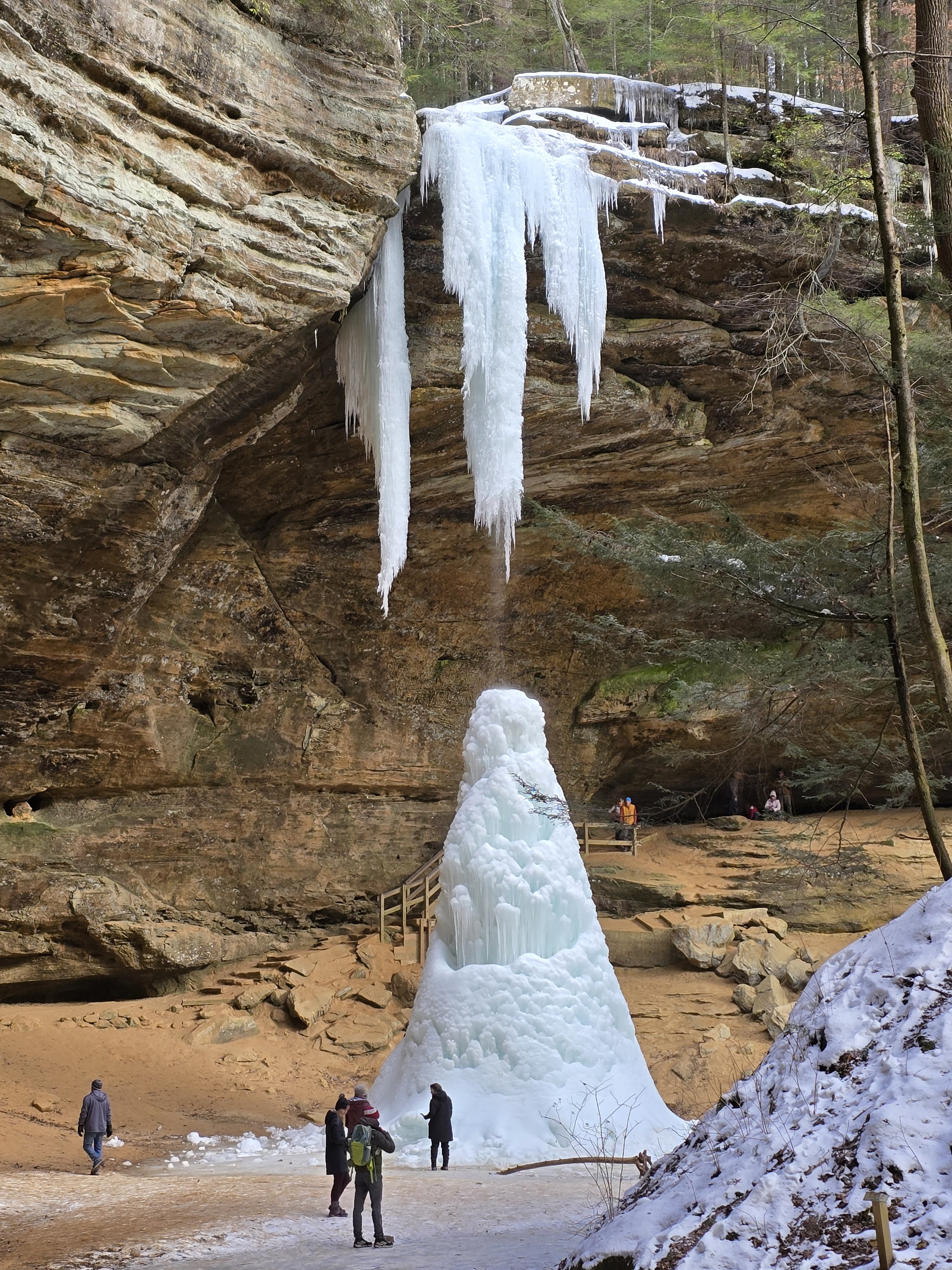
The gorge looks even more interesting. Let’s see if I can find a better look.
I found a dam across the top of the gorge and this small lake was on the upstream side. Called Little Pond.
This was on the downstream side of the dam.
I found the other side of the bridge.
A little further down the trail and I found access to the gorge. It’s like a mini Clifton Gorge.
A little recess cave on the opposite side.
I returned to Little Pond.
A little about this park.
Map of the lake without trails.
Little Pond is quite tranquil. I took a break here.
The Ospreys like it too.
These Honeysuckle have been blooming all year.
Odd looking barren.
I’m now getting back to the White South Loop Trail.
This very straight section skirts along the state property line.
Private property on the right. Please respect property owners.
Maps are changing back to the top portion of the South Loop.
I want to go right and was hesitant because it looked overgrown, but it was only this sunny area.
Paw Paws are so ripe.
Turkey?
Another Red Spur Trail.
Can you tell where the trail goes? I couldn’t until I found another red blaze and it was left.
The woods are nice and open here.
Small creek crossing.
Coming to Taylor Road almost back at the campground.
This section was closed.
So I took a left down Taylor Road.
I found another access point.
These trails are all called the South Loop, but there are red, blue, yellow, and the white main loop. I believe I’m back on the Milkweed Meadow Trail, where I began.
This pine plantation was cool.
They are too close together.
The disc golf course runs through them.
Wasps are pollinators too.
Back at the campground. There is a putt putt course.
And a camp store.
And a Nature Center, which I’m about an hour after closing. But the naturalist was still here and let me in. Thanks Josh.
The Western Hognose is similar to the Eastern Hognose we have in northwest Ohio. A non-venomous but aggressive snake. It will rear up and flatten its head like a cobra. Then if the threat doesn’t work, it will roll over and play dead.


Leave a Reply