Date: 09/18/2021 – Distance: 4.7 mi – Elapsed Time: 3.25 hr – Ascent: 715 ft – Descent: 640 ft – Difficulty: Medium
After camping the night before at Lake Alma State Park Campground, I decided to hike the nature trails today. There are about 5 miles of trails here. My campsite was on the little blue flag in the track map above and the arrows indicated my direction.
Map of the trails is located at all of the trail heads. Letter in the upper right corresponds to the letters on the map. At this location I had just completed the Old Pine Trail (green) from the campground.
I began from my campsite and took this road to the main campground road and turned left for just a few campsites.
I found the Old Pine Trail (green) behind campsite #53. It was not labelled, but by using the map, I was able to figure out where it was.
You can also get to this trail behind the campground amphitheater.
Be aware that this park is relatively small and is bordered on all sides by private property. Please be mindful and respect the property owners.
The Old Pine Trail is blazed with great paint.
Tis the season for trail webs. He looks wicked, but is harmless.
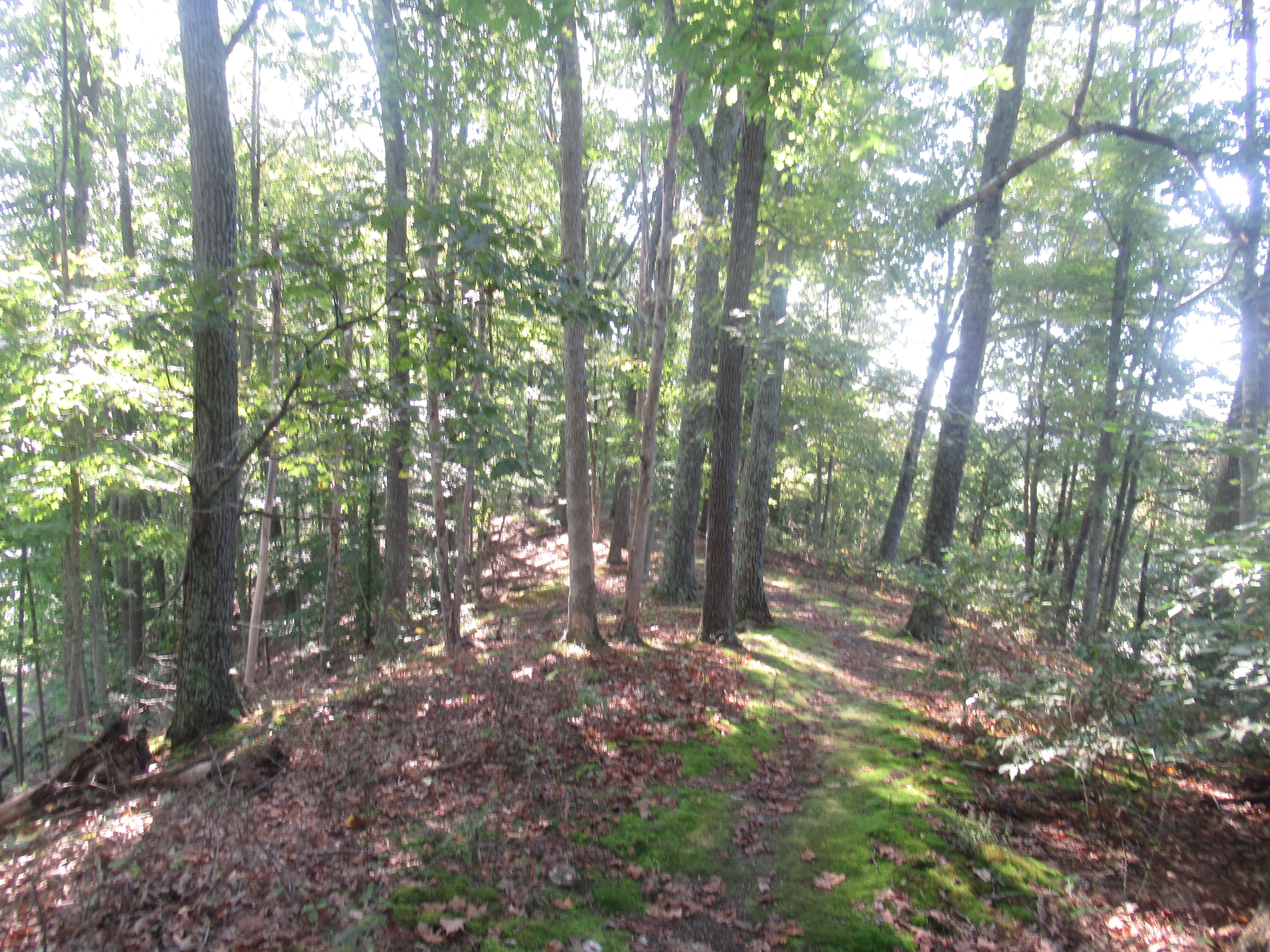
The woods have little ground cover here.
End of the Old Pine Trail near the beach area.
There is a sign here if you are looking for this trail going the other way.
This is the one-way road coming in.
Across the road is the public boat ramp.
Canadian Goose.
The beach is to the right of the boat ramp.
The store at the beach sells ice cream and rents boats.
The beach.
I’m heading for that bridge which goes to the Island Loop Trail.
Lake Alma panorama. That is an island in the middle, and you may be able to spot the bridge to it from the dam on the right.
This is the dam for the lake.
Evening Primrose growing along the dam.
Wingstem.
Getting closer to the bridge.
Made it to the start of the Island Loop Trail.
Some type of Vetch.
The trail goes all the way around the island.
There are some rock outcroppings on the east side of the island.
Looking across, back toward the campground.
Pearl Crescent butterfly.
Asters are a common late summer wildflower.
The cap of this mushroom was about 6 inches in diameter.
There is an undocumented trail which goes up to the top of this island and cuts across. I was told that there used to be an amusement park here, but I could not find any remnants anywhere in the park of this.
Two interesting fungi.
The trees on this island are large.
Back on the dam at the spillway.
This little section of trail goes up on a hill in the very southwest corner of the lake and comes out on the lake road.
Along the lake road, this is the trailhead for the Acorn Trail.
It’s nut season and you got to watch out for falling buckeyes, acorns, hickories, and walnuts. These buckeye trees were large and raining seeds.
Another view of the lake before hitting the Acorn Trail.
This toad wasn’t too concerned with me.
Turkey Tail fungus.
The Acorn Trail is blazed orange. Watch for the yellow blazes on this trail, they mark the edge of the state property.
There are some hills on this trail.
Small, but dry stream crossing.
That is a Bald Faced Hornet nest. Stay away from these guys, they can bite multiple times and their stings are like nails. They will also come after you in groups if provoked. I didn’t see any flying around this nest, so it may be dormant. They will not use it again.
Hard to see, but this intersection is the end of the Acorn Trail and the intersection of the Sassafras Trail. Left goes back to the lake, and right to the campground near my site.
Cool mushroom.
That’s a bunch of Puffball Mushrooms.
Don’t take my word for it though, I’m no expert.
Sassafras Trail is blazed blue. You can almost make out the campground ahead.







Leave a Reply