




Date: 06/16/2021 – Distance: 1.7 mi – Elapsed Time: 1.0 hr – Ascent: 167 ft – Descent: 207 ft – Difficulty: Medium

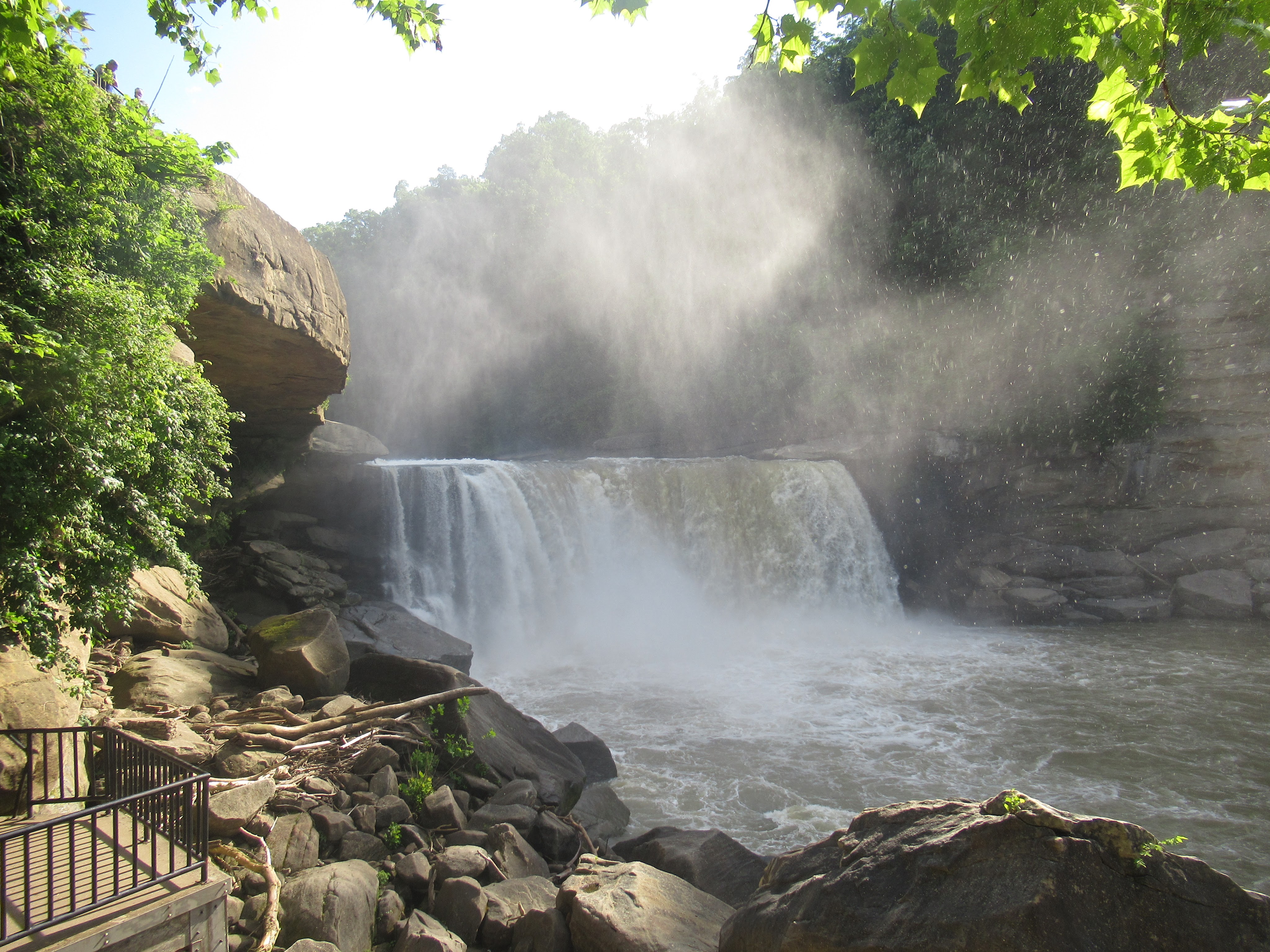
Cumberland Falls State Resort Park near Corbin, Kentucky features a beautiful lodge with 51 rooms, pool, and restaurant. There are also cabins and 50 site campground and 17 miles of hiking trails. The main attraction is a large gorge with the largest waterfall east of the Mississippi and south of Niagra. In fact they call Cumberland Falls the Niagra of The South.
Cumberland Falls is 68 feet tall and 125 feet wide, which pales in comparison to Niagra, but it’s impressive still. It has an average flow of 3200 cubic feet per second and has been seen at 60,000 cfs, which I couldn’t imagine. The water must have been over the top observation deck and the falls much wider then. There are whole trees washed up well above the waterline.
The mist from the falls creates a moon rainbow during a full moon, which I guess would be spectacular.
There are observation points at the top as well as underneath, close enough that you get a little wet. Such awesome power.
I only had a couple hours to explore, so I spent most of my time in the gorge around the falls.


Waypoints:
- Parking – N36.83717° W84.34331°
- Cumberland Falls – N36.83872° W84.34507°
- Eagle Creek Falls – N36.84362° W84.34350°
- Dry Bridge Overlook – N36.84748° W84.30883°
Links:


Leave a Reply