Date: 03/27/2021 – Distance: 4.6 mi – Elapsed Time: 2.5 hr – Ascent: 768 ft – Descent: 663 ft – Difficulty: Medium
Just coming off of the last trail I did in this vast preserve, the Edge of Appalachia, I went north to check out the popular Buzzardroost Rock Trail. It’s a 4.5 mile out and back with an amazing overlook at It’s apex. In fact, it’s one of the best overlooks that I’ve seen is Ohio. Wildflowers were everywhere as well.
Map at the main parking area just off SR 125.
Entrance to the main parking lot.
There is overflow parking across the road.
The drive into the main lot.
Some history.
No pets. I saw two dogs, who had to walk by and ignore the sign. Don’t be that guy, or I hope you get a ticket.
Dedication plaque from 1967.
They are doing some maintenance. It’s almost done.
White Trout Lily.
These makeshift boardwalks help with the mud.
There is a cliff along SR 125 across the ravine from the trail.
The views are good when the leaves are down.
Trails are well marked.
Hepatica.
Purple Hepatica. Same species, but the colors on this flower ranges from white, to pink, to purple or blue.
See the wildflowers growing on the rocks?
This trail is very well maintained.
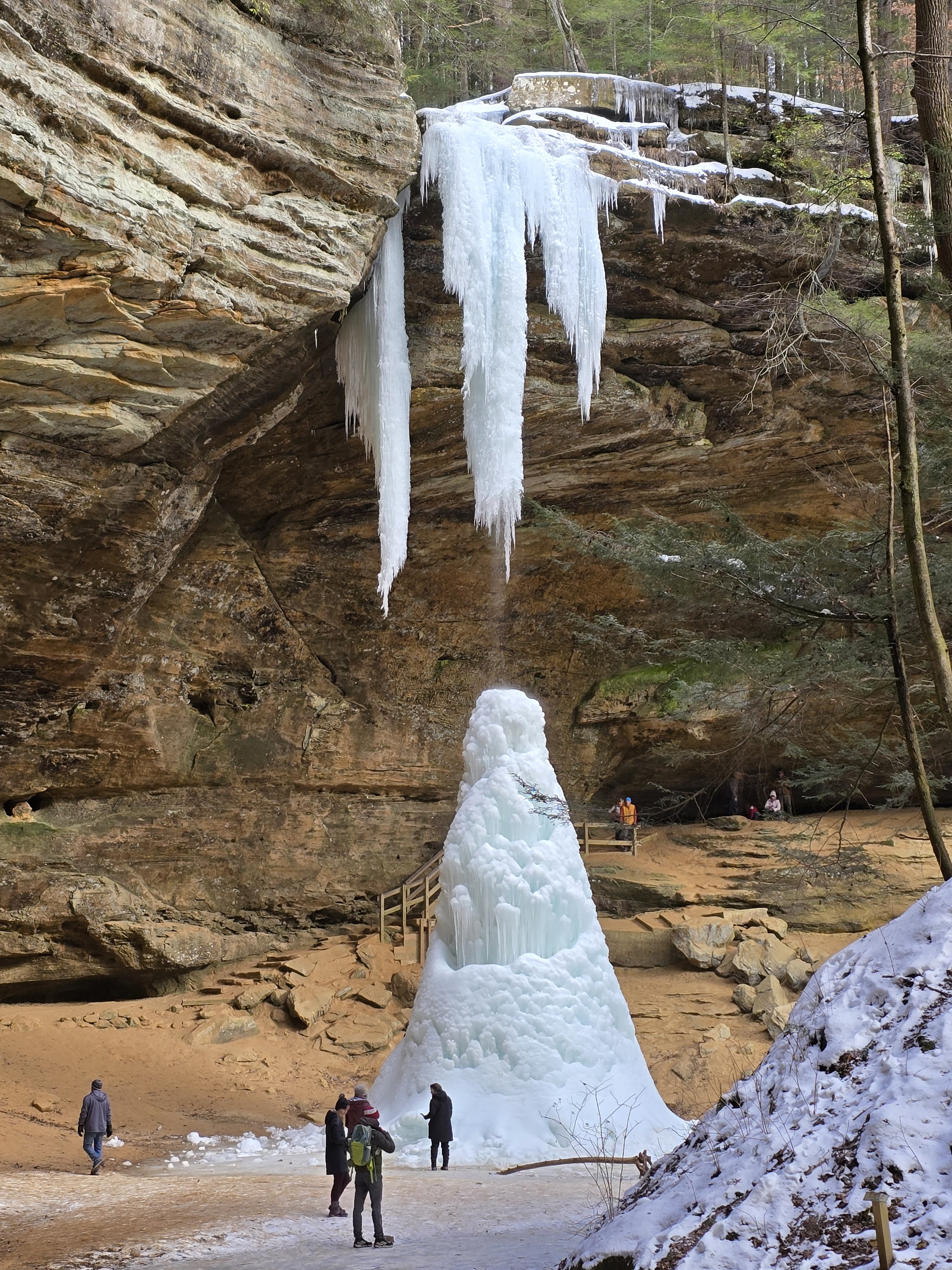
Coming up on a meadow. There is a bench overlooking a small waterfall here.
The prairie is called Steward Grassland.
This fork wraps around to the same place. I went left into the prairie, and would return on the other fork.
There is evidence that this used to be someone’s homestead.
It’s a scenic landscape.
The trail cuts right through it.
The views through the trees of the hills are good.
That damn dirt on my lens!!!
Coming up on the overlook.
Serviceberry.
They just built this deck.
The rock is separating from the cliff.
And it’s dramatic.
It’s a long way down.
You can see light here.
One of the best views in Ohio.
A little history.
Wow.
In every direction.
Looking back from the new deck. It’s nearly complete.
You can get swallowed in the chasms.
It’s a very nice overlook.
Red Maple flowers.
Returning now, this is the fork. Right goes through the meadow where I came in. This time I took the other branch.
Not sure, but it’s similar to Jacob’s Ladder.
This path follows a north cliff with some dramatic crevasses.
Wouldn’t want to fall in there.
These could be Allegheny Mound Ants which I know are in the area. Their hills can be 3ft tall.
Coming back to the meadow where I returned on the same trail back home.


Leave a Reply