Date: 10/31/2020 – Distance: 13.7 mi – Elapsed Time: 6.0 hr – Ascent: 1125 ft – Descent: 988 ft – Difficulty: Difficult
This weekend I landed a Camper Cabin at Mohican State Park. These little cabins are quite nice. They have electric, heating/ac, microwave, fridge, ceiling fan, twin bed, bunk beds, and a small kitchen table inside. Outside there is a porch with a swing, picnic table, and fire ring. Only $55 per night. The bathrooms and showers are shared with the rest of the campground. They also have luxury cabins on site as well.
On Saturday, I hiked the whole gorge. I first walked down to the luxury cabins and did a short piece of the extensive mountain bike trails.
Chestnut husk.
Chestnut leaf.
Chestnut tree.
Hickory.
Sweetgum.
Clear Fork Creek is high.
The fog was surreal in the morning sun over the creek.
Wood fern?
Then I backtracked and jumped on the Hemlock Gorge Trail, right at the bridge over Clear Fork Creek.
The Hemlock Gorge Trail goes left. Look for the Tube Launch sign along the road.
It starts out pretty wide.
Nice fall color.
Twisted grain on dead tree.
Remains of an old suspension bridge.
Trail map for the eastern half of the gorge.
Class B campground at the other end of the trail.
Little shelter on the Class B camp road.
Covered bridge built in 1968.
It’s pretty long and has a walkway on both sides.
Looking up the creek from the bridge.
Trailhead for the Pleasant Hill Trail leading to the dam on the north end of the bridge.
Trail map for the western half of the gorge.
Some seemed interesting about this scene.
See how high the creek is?
The water is actually over the trail ahead. Passable though…
Spillway is raging.
Looking downstream from the spillway.
Pleasant Hill Dam from the underside.
Looking down the Gorge from the top of the dam.
Pleasant Hill Lake.
Morning Glory Spillway. This is a secondary spillway and would be intense if the water ever got this high.
Cliffs right at the top of the dam.
The leaves on the far hillside.
Cliffs right above the spillway leading to Lyons Falls.
The cliffs in this area are cool.
The cut at Little Lyons Falls.
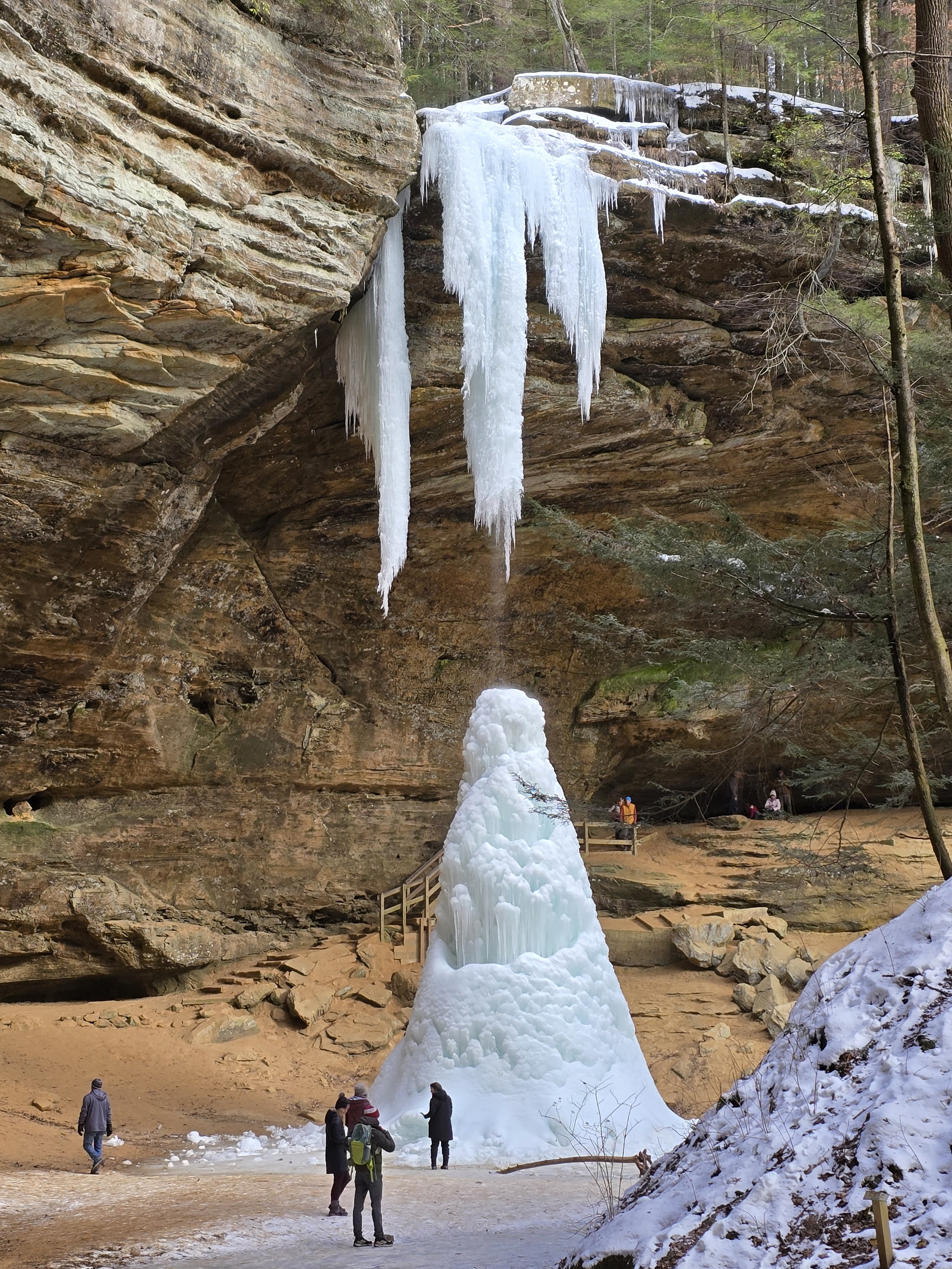
Coming into Big Lyons Falls.
Stairs down to the base of Big Lyons Falls.
There wasn’t water last time I was here.
The mouth leading into Big Lyons Falls.
Arriving back at the covered bridge.
Fungi.
More photos from the cabin follow…
Storms rolling in Sunday morning.
They were calling for winds so I opted not to hike on Sunday.


Leave a Reply