Date: 06/20/2020 – Distance: 5.0 mi – Elapsed Time: 2.75 hr – Ascent: 420 ft – Descent: 390 ft – Difficulty: Easy
My first hike of my weekend at Caesar Creek State Park was in an area called Wellman Meadow Area. There are several trails in this area including the 12.7 mile Perimeter Trail which circles around the lower half of the lake. There are also the 0.7 mile Cove Trail, the 1.0 mile Peninsula Trail, both which are also loops, and the 0.7 mile point-to-point Horseshoe Falls Trail which ends at a scenic limestone cliff and small waterfalls. There is also a cool swinging just beyond the falls which crosses over the creek and continues along the Perimeter Trail toward the dam.
I began by parking at a backpacking trailhead just past where the Perimeter Trail crosses the main road into the Wellman Meadow Area. A short hike back the road lead me to Waypoint Marker C1 where the trail crosses the road.
Where the Perimeter Trail crosses the entrance road into Wellman Meadow Area.
Waypoint Marker C1 from the previous picture.
Heading south from Waypoint Marker C1, you come to Waypoint Marker D1, where I went left because I was heading to Horseshoe Falls. The right path took me toward the point on the lake of the Wellman Meadow Area.
The next intersection is Waypoint Marker E1. Right(red) is the Cove Trail. Left(yellow and blue) is the Perimeter Trail/Horseshoe Falls Trails together.
There is a creek along this trail which flows into the lake called Flat Fork, which has a lot of flat chunks of limestone in it.
There is also an old Grist Mill site along the trail.
Grist Mill overlook. It’s hard to discern where it stood as nothing really remains.
And then you come to this cliff. Obviously the source of the limestone in the creek downstream.
It’s a pretty impressive wall.
Looking downstream from the wall.
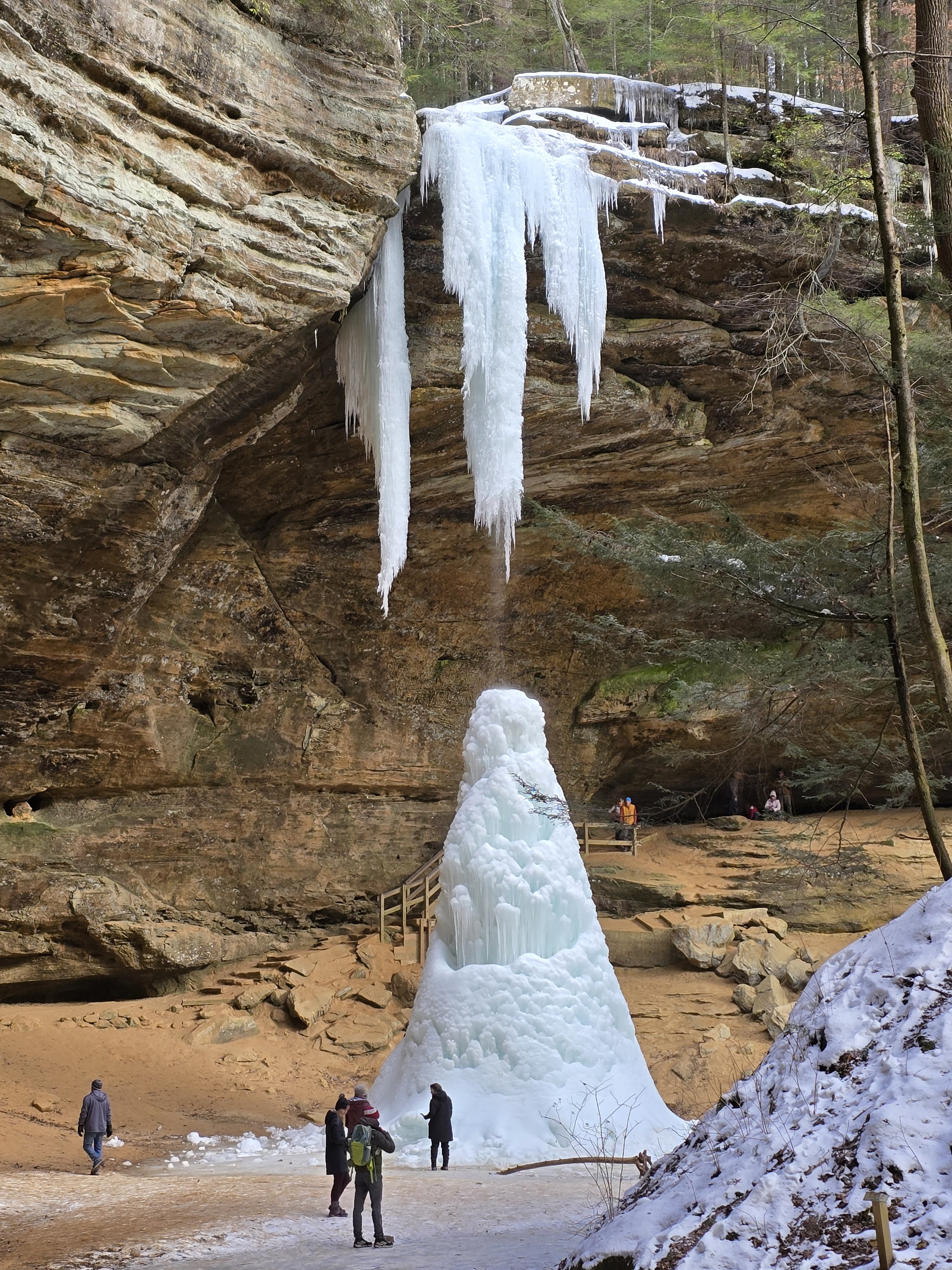
Just upstream from the wall is Horseshoe Falls.
It’s U shaped of course.
If you continue along the trail on the north side of the creek, you come to this cool swinging bridge which crosses Flat Fork. The Blue Horseshoe Falls Trail ends here and the trail beyond is the continuation of the Yellow Perimeter Trail.
Swinging Bridge over Flat Fork.
Just over the bridge is a fork. The right fork goes back to the opposite bank of Horseshoe Falls, and the right fork is the Perimeter Trail.
Looking back at Horseshoe Falls from the top of the cliff.
There’s a large grove of Cedar trees on top of this cliff.
Continuing along the Perimeter Trail, it eventuall takes you to the lake level.
At another opening in the trees you can begin to see the dam in the distance.
This is the emergency spillway to the east of the dam. This is a designated “boat swim area”.
Crown Vetch planted along the bank to deter erosion. Invasive, but beautiful.
At the emergency spillway, they cut through the limestone to flow the water into a gorge behind the dam. This is a popular fossil hunting area and you can park here and search for fossils.
You can see the cars parked in the distance along Clarksville Road which crosses the dam.
It would be cool but scary to see the water flowing over this spillway. For some reason they are spraying weed control on the bank.
On the other side of the spillway, before the dam is a nice picnic area called Flat Fork Picnic Area.
At this Waypoint Marker I turned around because I wanted to explore some other trails.
Another view of the “fossil wall” coming back across the spillway.
The Perimeter Trail reenters the woods on the opposite side at the mouth of the spillway.
Jack in the Pulpit with seed head.
Elderberry likes the sun.
Cool little Elderberry flowers. I didn’t notice a fragrance.
From here I continued back along the Perimeter Trail, taking that side trail before the bridge that goes to the south side of Horseshoe Falls. The creek was low enough I was able to amble across limestone rocks to the other side and continue. Then I took the Cove Trail back around to the parking lot I was in at the entrance to the Wellman Meadow Area. I purposefully did not take the Peninsula Trail in this area, because it looked hot, and it was 90 degrees in the sun. But I actually captured a pic from the spillway or the “peninsula”…
That white tip on the right side of the photo is the “peninsula” at the Wellman Meadow Area.
This whole area of the lake is an inlet from the Flat Fork creek. I wondered what was under the water, geologically speaking. The dam from the downstream side is huge, so this is a deep gorge. I’ll cover that in another blog, which I came back to the same evening by car for another short hike.


Leave a Reply