


Date: 02/15/2020 – Distance: 2.0 mi – Elapsed Time: 2 hr – Ascent: 531 ft – Descent: 420 ft – Difficulty: Easy

I knew this trip was going to be epic when a bald eagle flew over my car on the way up here yesterday just north of Sunbury, Ohio. It was only about 50 feet above my car and was flying in the same direction I was driving. It was a good omen.
When I woke up this morning it was 9 degrees in Medina, Ohio, about 15 minutes from Hinckley Reservation. I checked the weather and knew it was going to warm up, so I took my time getting started. I had breakfast with an old coworker who lives in the area, and he decided to go hiking here with me today. We hit the trail about 11:00 and it had warmed to 25 degrees.
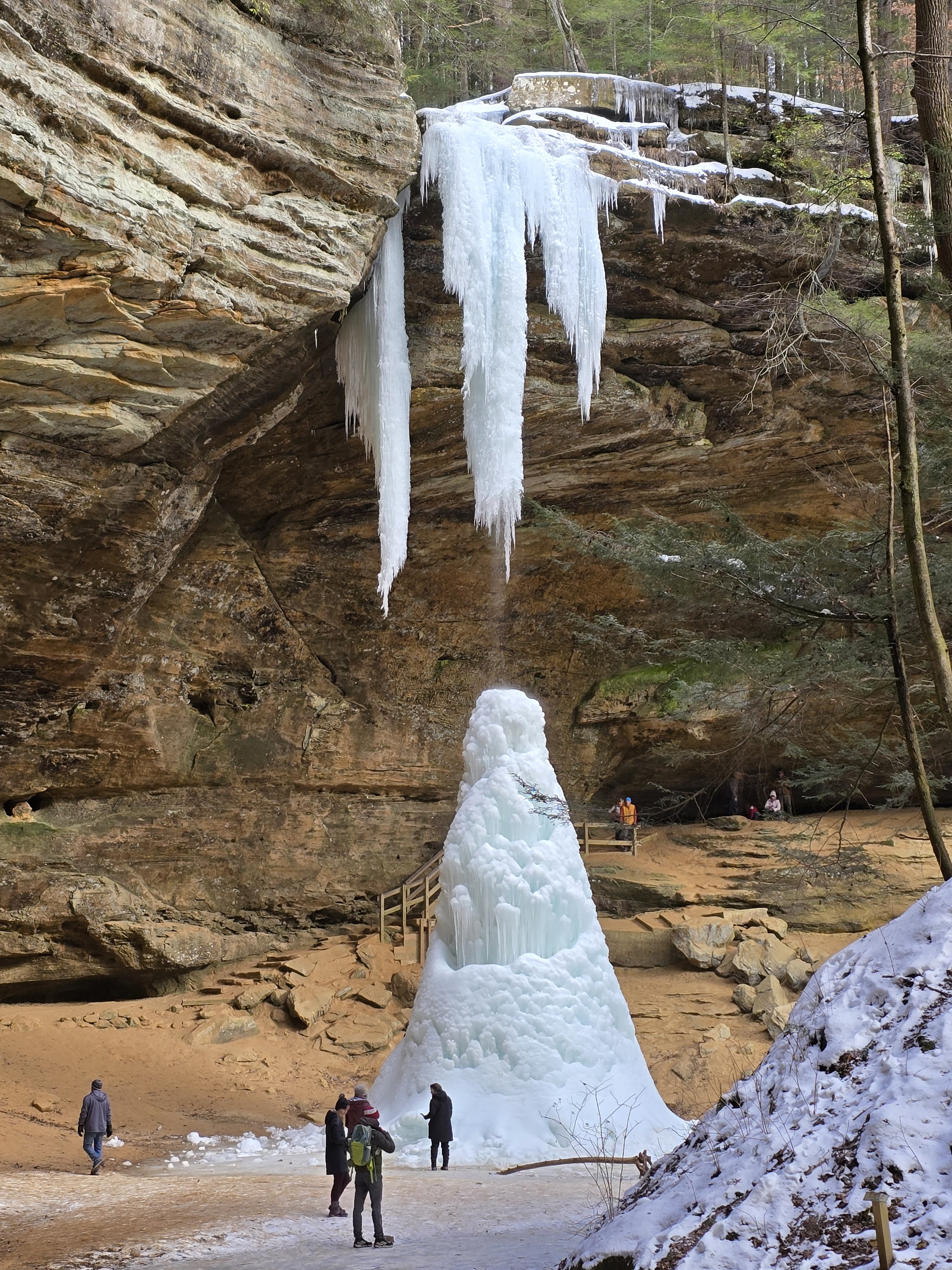
We parked at the lower parking area and hiked up to the ledges. It’s only about a quarter mile before you get to the ledges. From there, we turned right and continued along the base of the cliff. The rocks are stunning and there are a few passages where you can go between the cliff and large slump rocks. The snow made for some slippery steps along the way, but I didn’t need to put my microspikes on. The hiking poles were a big help. When we got to the end of the cliff, there was a trail which continued on, however we didn’t take it and instead turned left and continued back along the top of the cliff. Later, another hiker told us that there was a cave on that trail.
When we cane to a right intersecting trail, we took it to the Top O’Ledges picnic area. There were some boy scouts camping up there. I bet they had a cold night before.
Then we took the Buckeye Trail back to the cliff, down through the crevice, and back down the hill to the parking area. Total was about two miles.


Waypoints:
- Parking – Whipp’s Ledges Picnic Area (bottom) – N41° 13.123′ W81° 42.203′
- Parking – Top O’Ledges Picnic Area (top) – N41° 13.243′ W81° 41.906′
Links:


Leave a Reply